Geographic Information Solutions
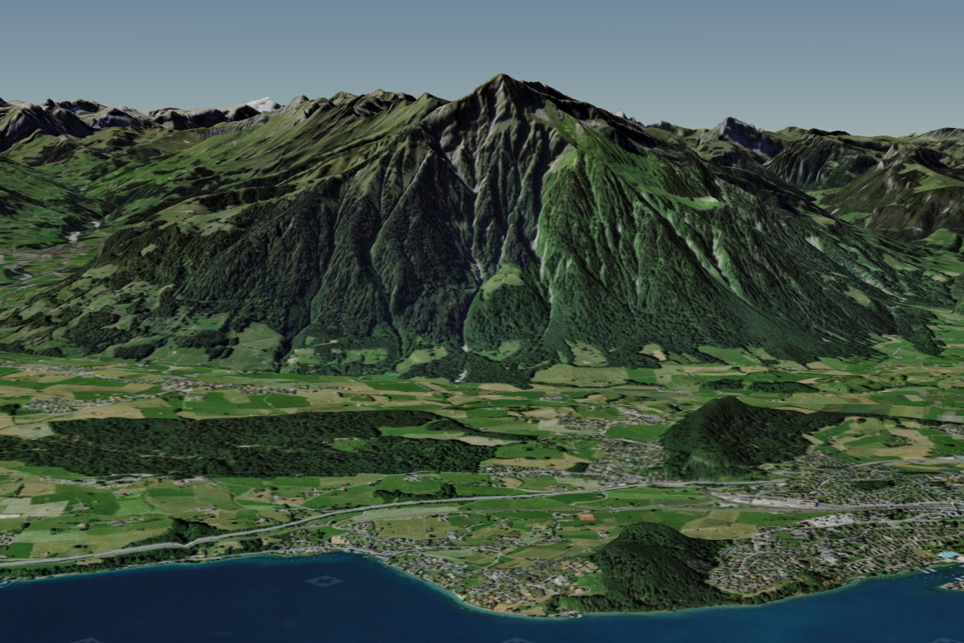
Based on MAP+ 3D we put together a demo about Switzerland. Thanks to the release of the data and thanks to the APIs from swisstopo, it was relatively easy to put together the demo. We also prepared some data ourselves. As follows:
swisstopo, WMTS and WMS geo.admin:
Prepared by TYDAC:
Link
Successfully complete registration
This website uses cookies so that we can provide you with the best user experience possible. Cookie information is stored in your browser and performs functions such as recognising you when you return to our website and helping our team to understand which sections of the website you find most interesting and useful.
Strictly Necessary Cookie should be enabled at all times so that we can save your preferences for cookie settings.
If you disable this cookie, we will not be able to save your preferences. This means that every time you visit this website you will need to enable or disable cookies again.