MAP+ V3 Demo

MAP+ V3 Demo

With Map+ V3 modules for any applicatio area can be developed without programming knowledge:

  • Lists from database tables, combined with the possibility of geographical selections. Data export of tables or selections to shape, xls, csv, json etc.
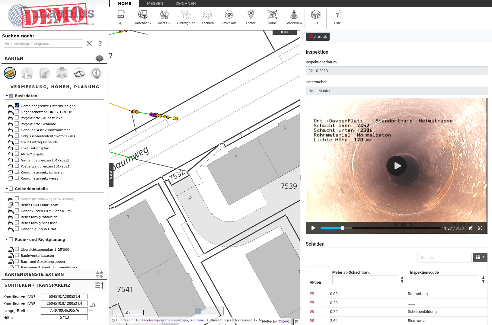
  • Nested forms with options for data collection via linked tables, data upload of documents, videos, etc.
  • PDF reports with map integration and possibility of geographic analyses such as overlays

In order to show the capabilities, we have put a demo version online. There you can see modules from TYDAC and  customers, which are otherwise only visible on the intranet:

  • Building zones undeveloped, upload documents, TYDAC
  • Editing mixed geometries, TYDAC
  • Tree cadastre, Geozug Ingenieure AG, Baar
  • Signalization, Geozug Ingenieure AG, Baar
  • Graffiti capture via photos, TYDAC
  • Sewer lines inspection (videos), Darnuzer Ingenieure

You can find instructions on how to use the modules directly in the application by clicking on the "i" next to Examples MAP+ V3. Start demo.

tydac

bingo

Successfully complete registration

TYDAC AG
Privacy Overview

This website uses cookies so that we can provide you with the best user experience possible. Cookie information is stored in your browser and performs functions such as recognising you when you return to our website and helping our team to understand which sections of the website you find most interesting and useful.