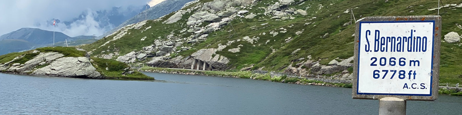
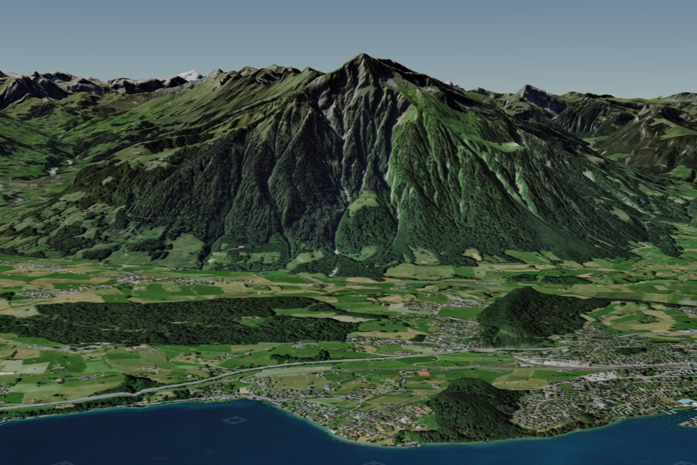
Based on MAP+ 3D we put together a demo about Switzerland. Thanks to the release of the data and thanks to the APIs from swisstopo, it was relatively easy to put together the demo. We also prepared some data ourselves. As follows:
Romano Hofmann, Management, Head of Department Geomatics and GIS, Geozug Ingenieure AG:
"We see our WebGIS GO not only as a publication medium for geodata, but it is also important for our customers that they can manage and edit their own geodata themselves. Especially for work in the field (for example, by municipal employees), it is important that the applications are very easy to use and can be used on different devices. TYDAC has an excellent understanding of how to translate the demanding and diverse requirements into applications with a wide range of functionalities that can be used intuitively (even by non-experts). Thanks to the easy-to-learn development possibilities, we can thus offer our customers cost-effective customized GIS applications for the digitization of their everyday work."
mapplus ALPS has been completely revised. In particular as the points of interest (POI) were outdated. About 150 topics are now available, about 80% of the POIs are now based on OSM (OpenStreetMap). Especially for categories with constant changes, such as gastronomy and accommodation, OSM has proven to be the most reliable and up-to-date source.
mapplus EUR was created at the beginning of 2020 - mainly because we wanted to see if we could handle really "Big Data". Yes, we can ...
MAP+ version 3 has been in development since August 2019 and is available now. The innovations are comprehensive - it's not just a new version, it's a new generation of software:
Significantly simplified configuration with a new user management that supports clients, portals, profiles and groups
New Modules (MAP+ Enterprise):
Support of lists and geographical selections as well as their combination. In addition data export
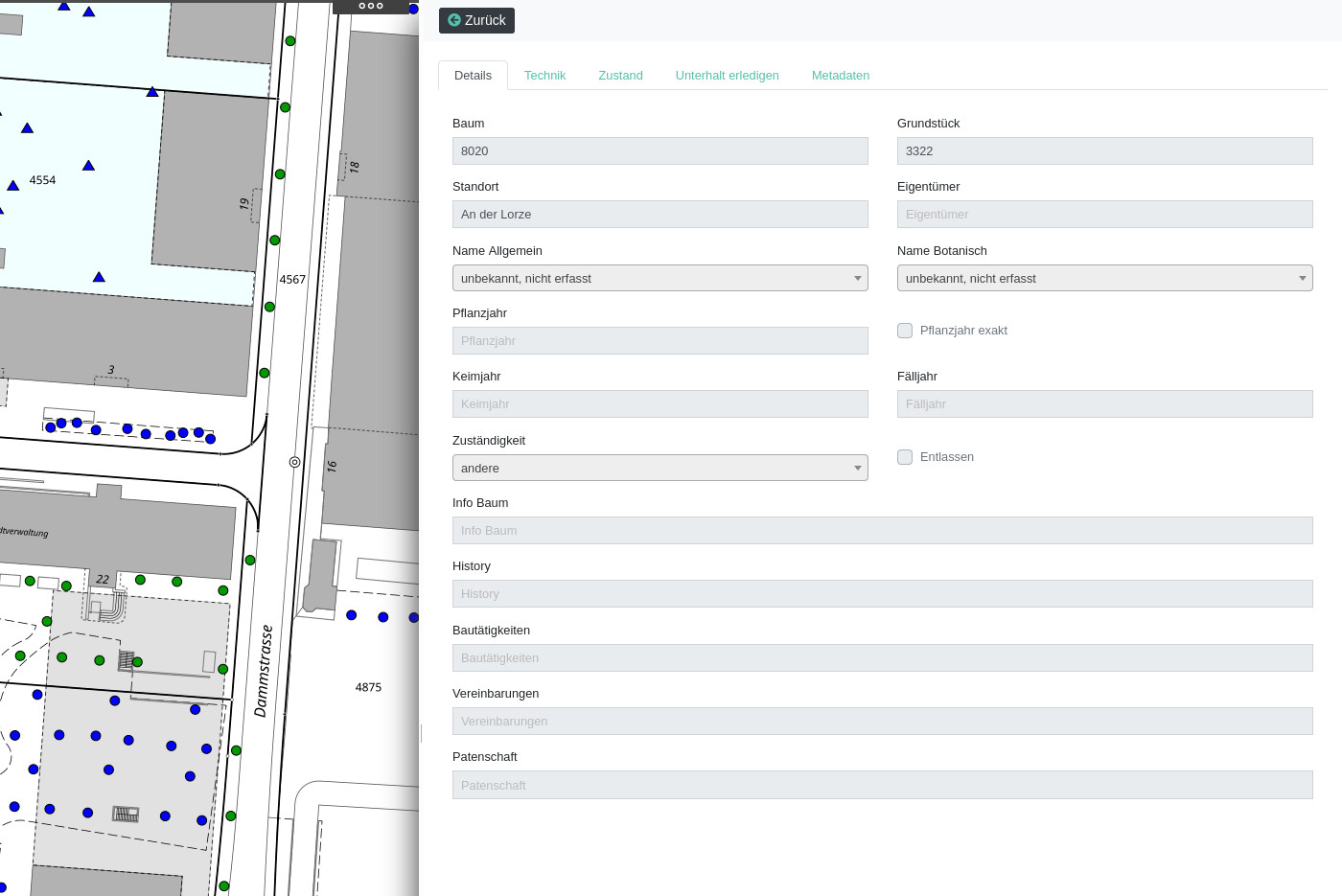
Nested responsive forms with options for data collection via linked tables, data upload of documents, videos, etc.
PDF reports with map integration and possibility of geographic analysis such as overlays
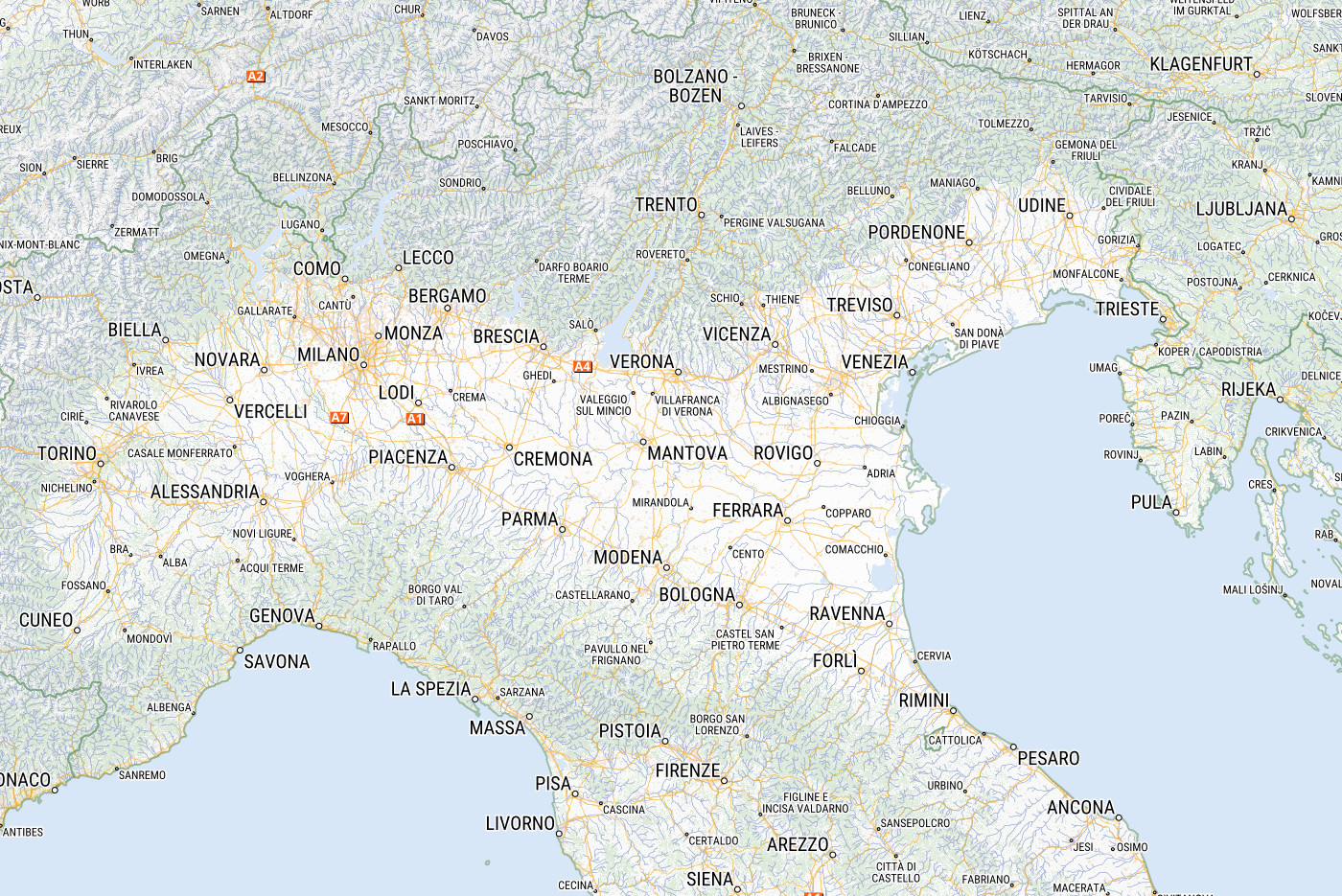
Earlier, we listed the cantons with Open Data. In the meantime, the cantons that nest egg their geodata are in the minority , namely 6.5: AR, JU, LU, NE, NW/OW, TI and VD. In total, open data covers 80% of the population or more than two thirds of the national territory! But: until now, there was no WebGIS application, respectively no place, which integrated all these data in one location and made it usable. Therefore: NODI!