
TYDAC AG
Geographic Information Solutions
Geographic Information Solutions
Innovativ und immer am Ball!
Siehe auch die Geoportal News und die Data as a Service News
2024 feiern wir unseren 33. Geburtstag im Kursaal Bern. Feiern Sie mit!
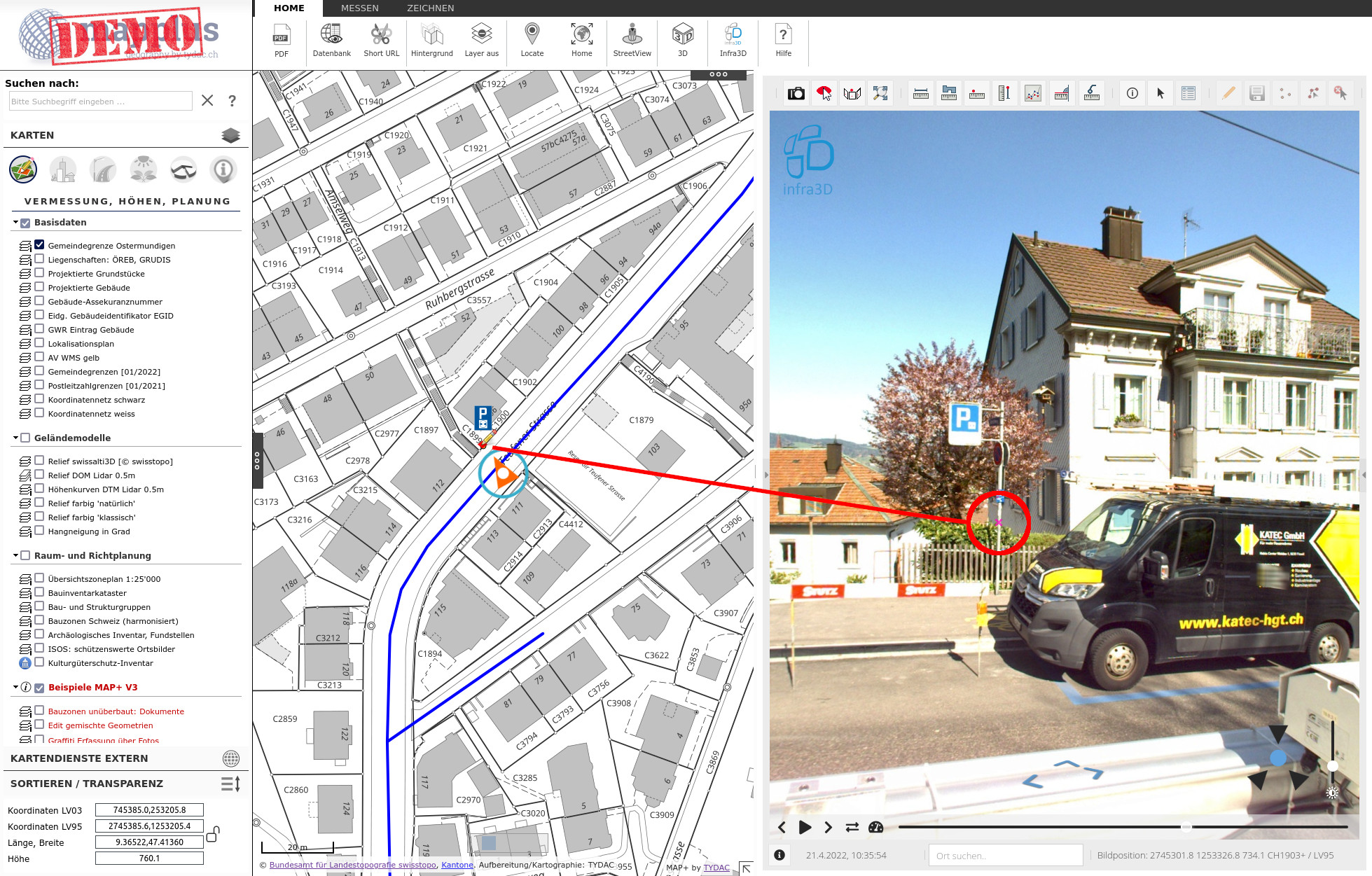
MAP+ Integration von iNovitas Infra3D Daten erlaubt eine komfortable und präzise Datenerfassung.
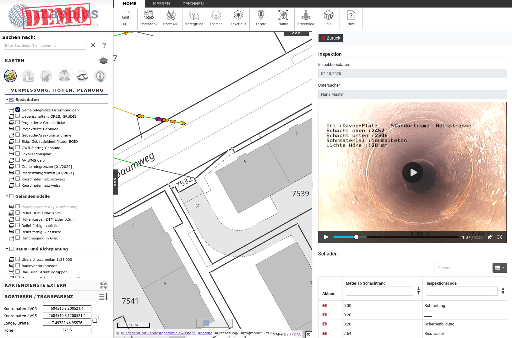
Demo von Modulen, die mit MAP+ V3 erstellt wurden: Baumkataster, Signalisation, Befahrungen, Bauzonen, Graffiti etc.
Mit MAP+ V3 wurde eine Modul Baubewilligungen erstellt, den nu fast alle Gemeinden der Surselva einsetzen.
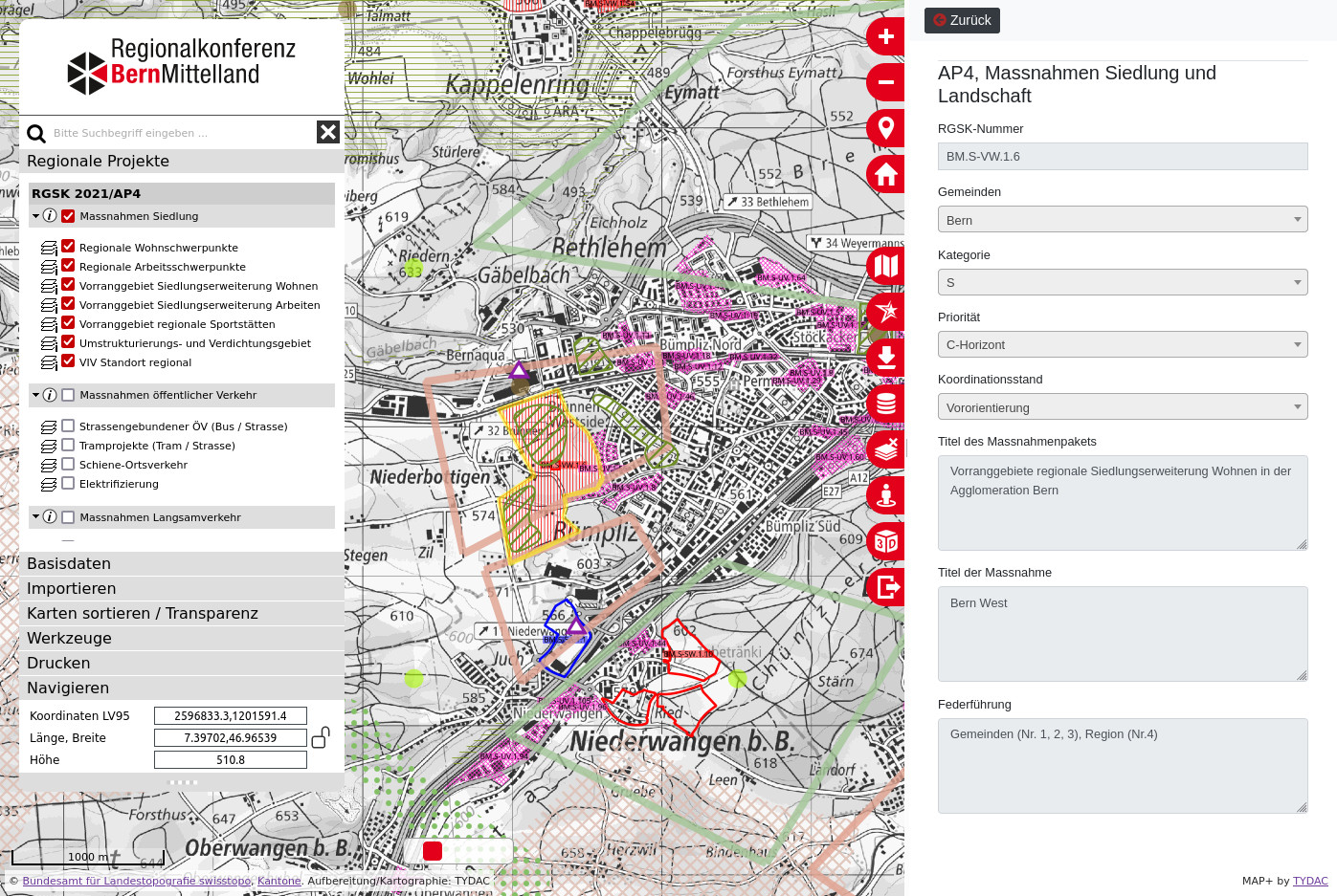
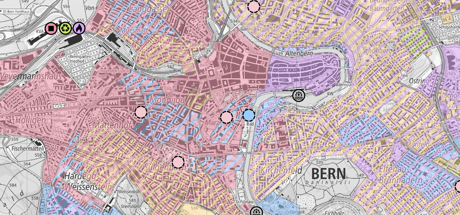
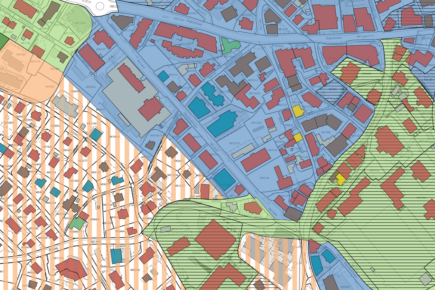
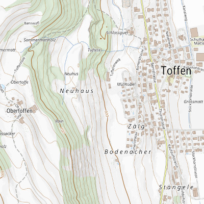
Regionales Gesamtverkehrs- und Siedlungskonzept (RGSK) der Region Bern-Mittelland (RKBM)
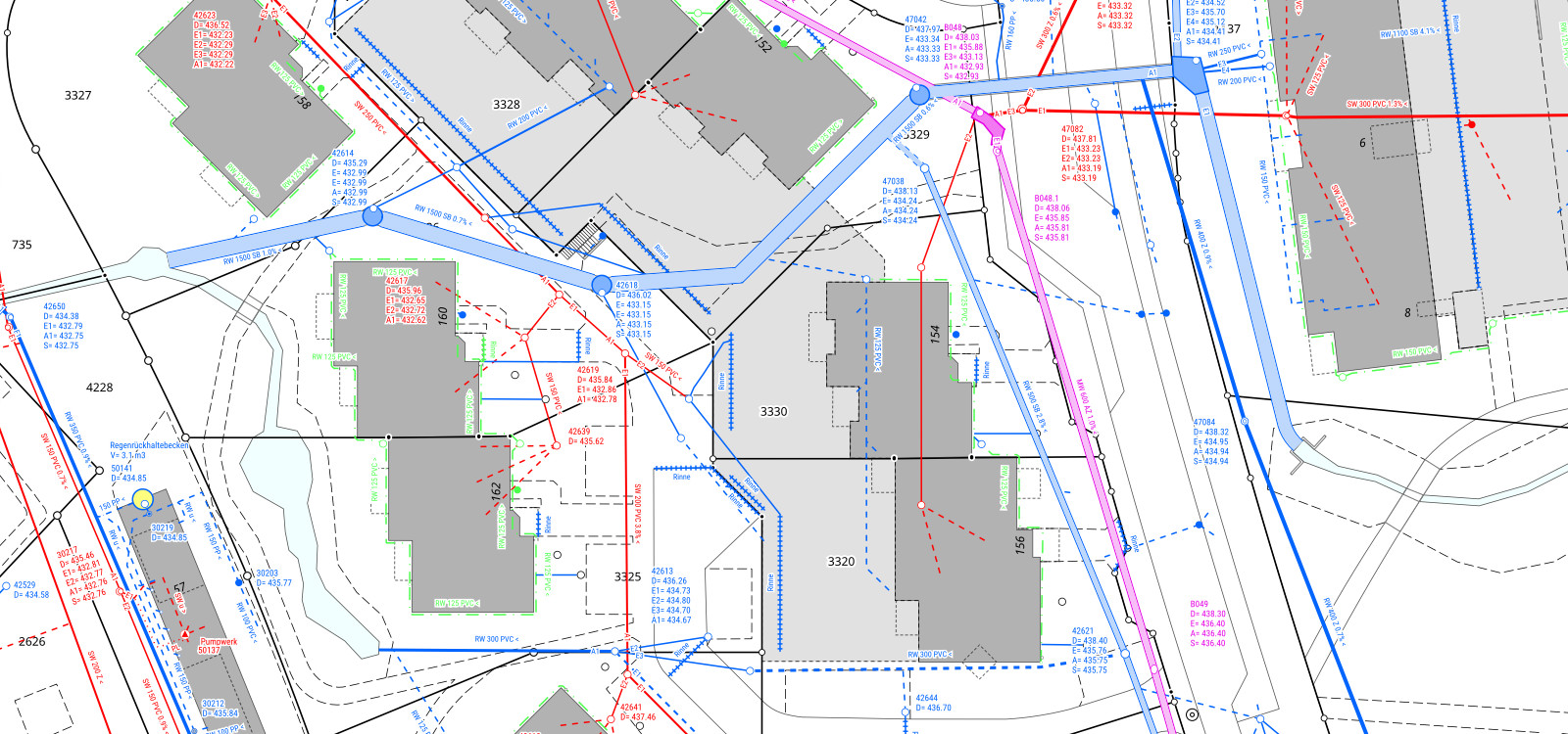
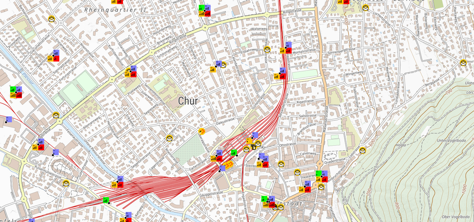
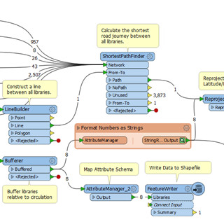
Web-basierte Anwendungen zum Unterhalt von Strassen, Wanderwege, Kanalisation, Grünflächen, Bergbahnen, Bäume usf.
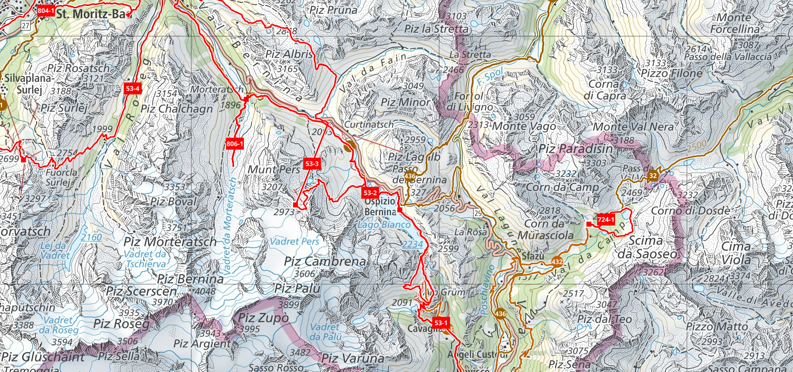
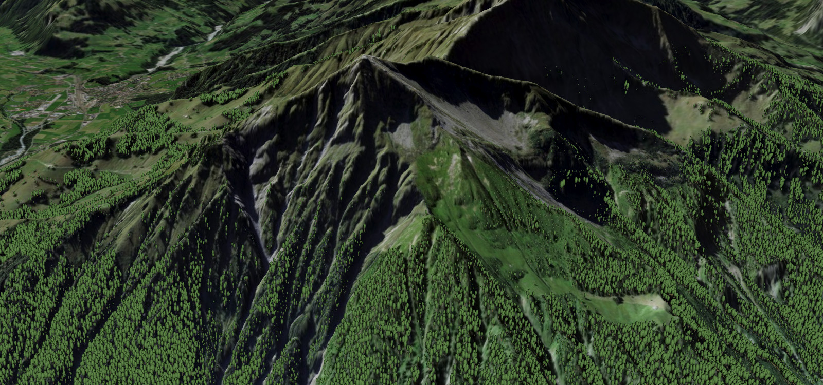
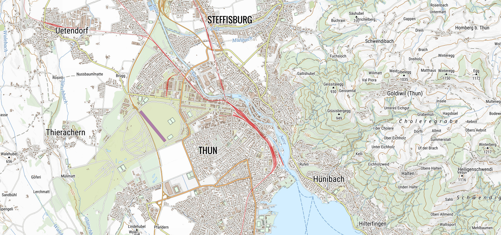
Der Klimawandel bringt den Permafrost in den Bergen zum Schmelzen. Unter anderem sind auch Geländeverschiebungen die Folge.
Die Energiewende ist das aktuelle Thema, dass viele beschäftigt. Grundlagen zu schaffen wird immer wichtiger.
Menu oder à la carte - Was immer Sie wünschen ...

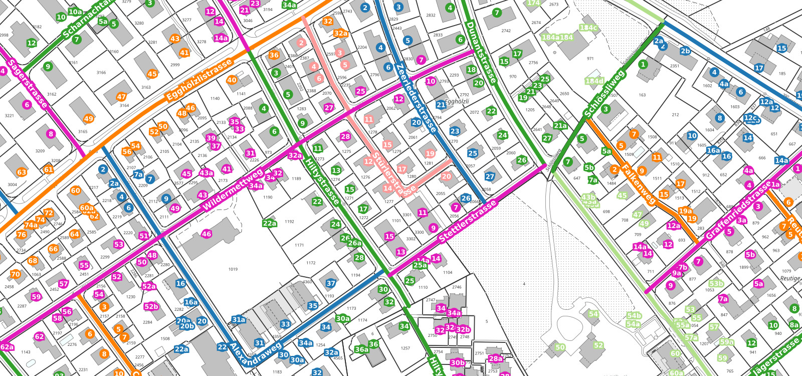
Unsere Kundenbasis spiegelt das breite Spektrum von Anwendungen, die mit MAP+ realisiert wurden!
