TYDAC AG
Geographic Information Solutions
Wikipedia: "Web 2.0 is a buzzword used to describe a number of interactive and collaborative elements of the Internet, especially the World Wide Web. Here, the user not only consumes content, he or she provides content as a producer." Applied to WebGIS solutions, 2.0 means that users can enter and edit data themselves. This is standard practice at TYDAC: with MAP+, we have been replacing expensive desktop solutions for several years.
In a survey on the requirements for a WebGIS, the following criteria were mentioned particularly frequently:
Interestingly, this hit parade of requirements applies equally to citizens and external customers as it does to employees and internal users.
MAP+ fulfills these five points perfectly, with an unbeatable price-performance ratio. Our new brochure describes this in detail:
The second half of the brochure completes the description of our offer: Tailor-made (application development), data and services (FME, WebGIS design), geodata hubs, offers for application service providers and last but not least our Trainings and seminars.
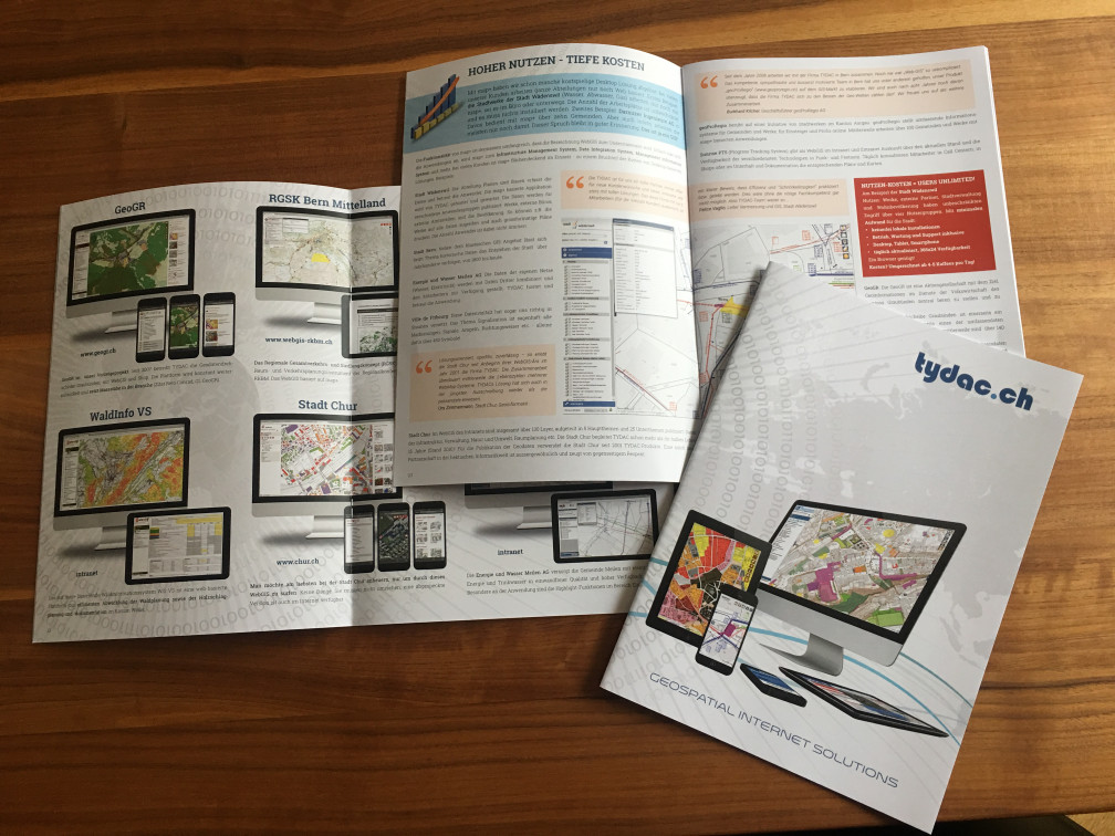
On the cover pages and in the center you will find a large selection of references and links to applications to browse. Enjoy reading and surfing.
Link Online brochure German / English (if you would like one or more paper versions, please order by e-mail to info@tydac.ch)
Copyright @ TYDAC AG - Optingenstrasse 27 - CH-3013 Bern - +41 31 368 0180 - info@tydac.ch
Photos: Flavio Hendry - Privacy Policy
Powered by WordPress - Wallstreet Theme - Translation assistance by Weglot
Successfully complete registration