
TYDAC AG
Geographic Information Solutions
Geographic Information Solutions
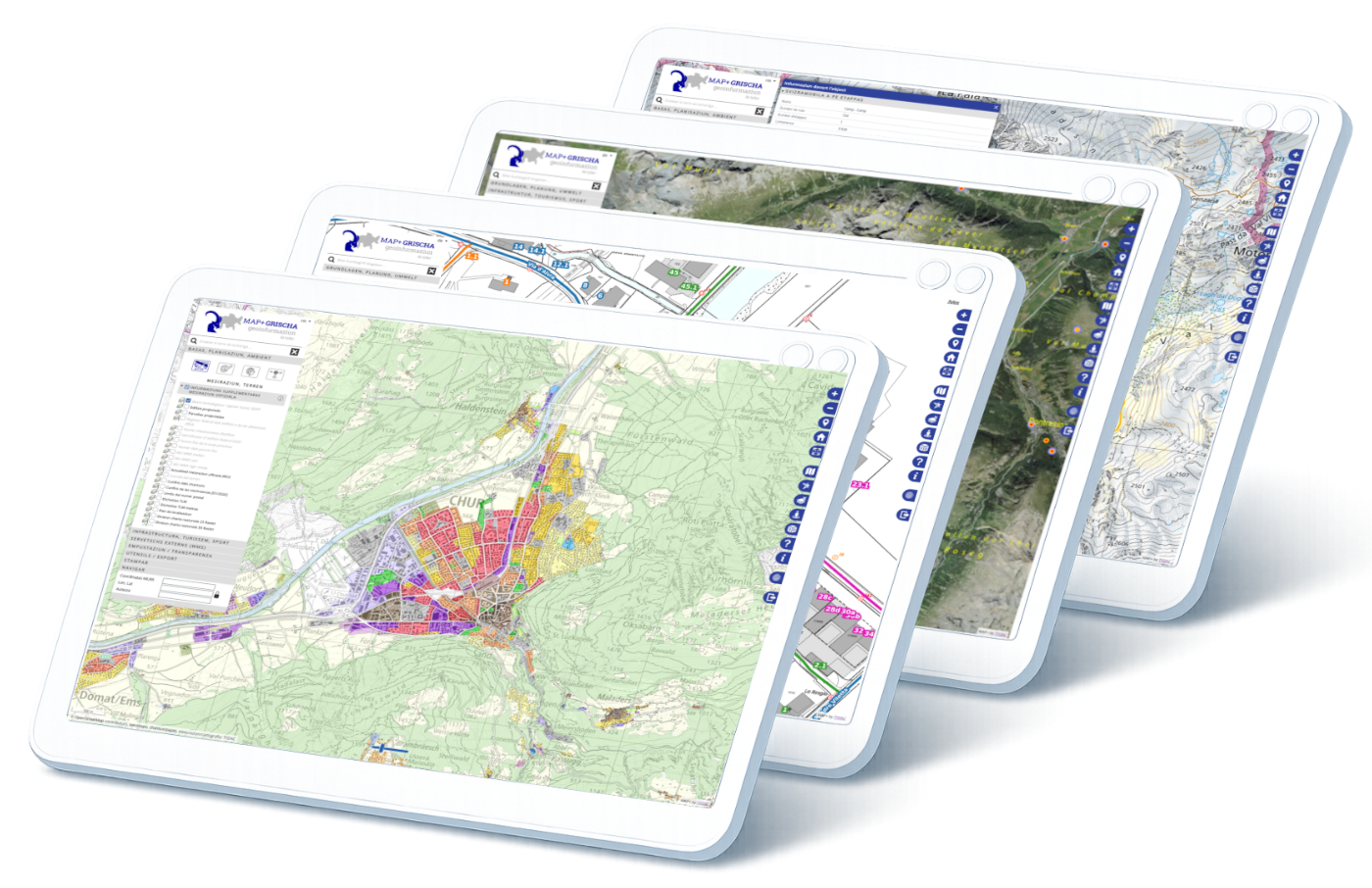
Government agencies are facing increasing demands: greater transparency, more efficient processes, and a solid foundation for decision-making by policymakers and administrators. Our WebGIS helps you centrally manage, intelligently analyze, and intuitively share geodata.
TYDAC has been responsible for the GeoGR WebGIS and Geodata Shop offering since 2007, means for 18 years! We would like to thank GeoGR for their trust over such a long time and for the excellent cooperation!
In 2024 we will celebrate our 33rd birthday in the Kursaal Bern. Celebrate with us!
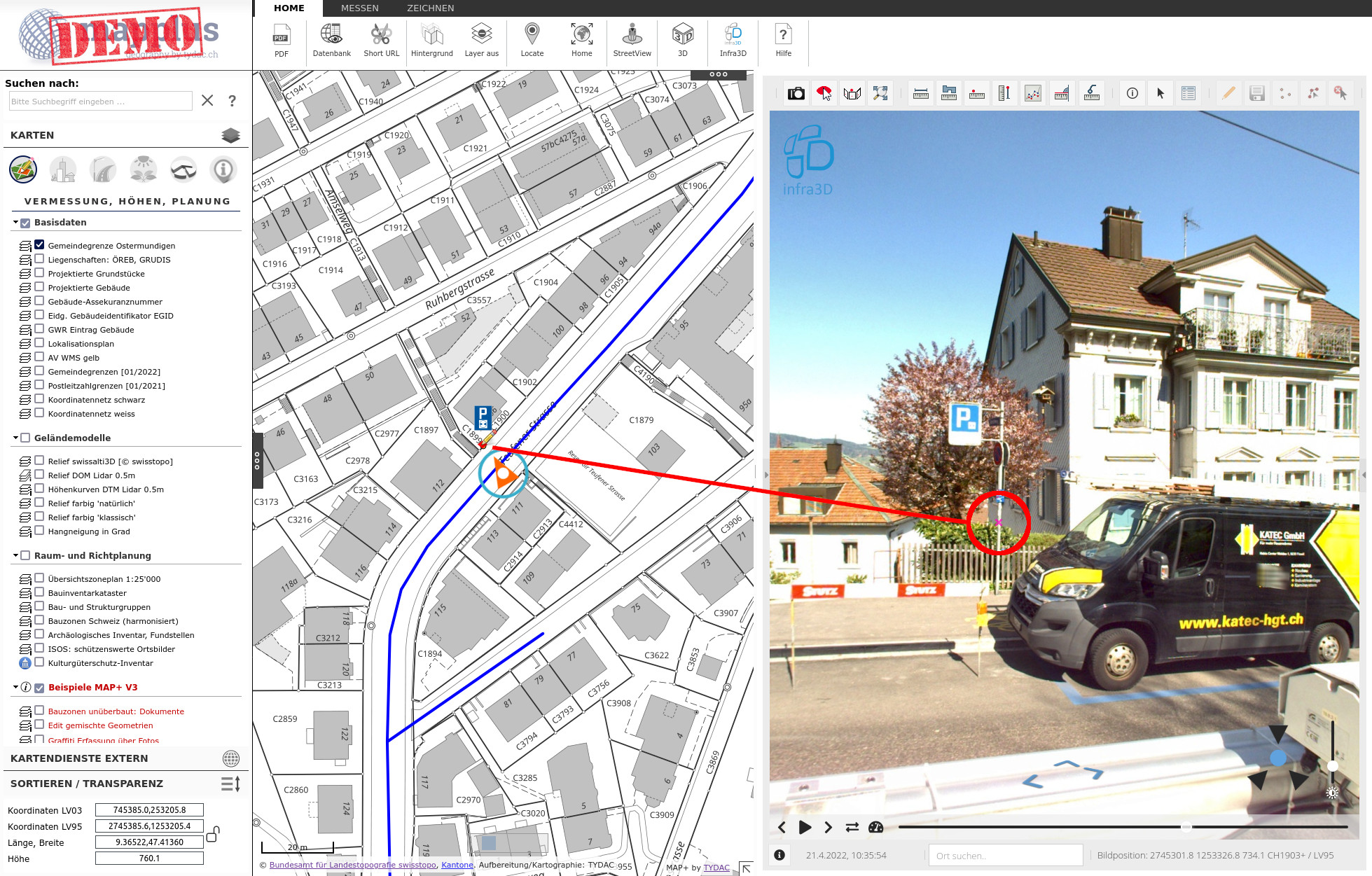
MAP+ integration of iNovitas Infra3D data allows an easy and precise data acquisition.
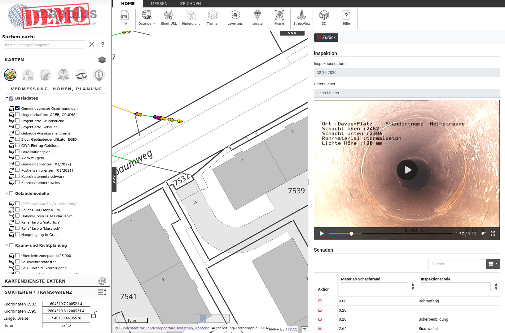
Demo of modules created with MAP+ V3: Tree cadastre, signalization, traffic, construction zones, graffiti, etc.
With MAP+ V3 a module for building permits was created, which is now used by almost all municipalities in Surselva.
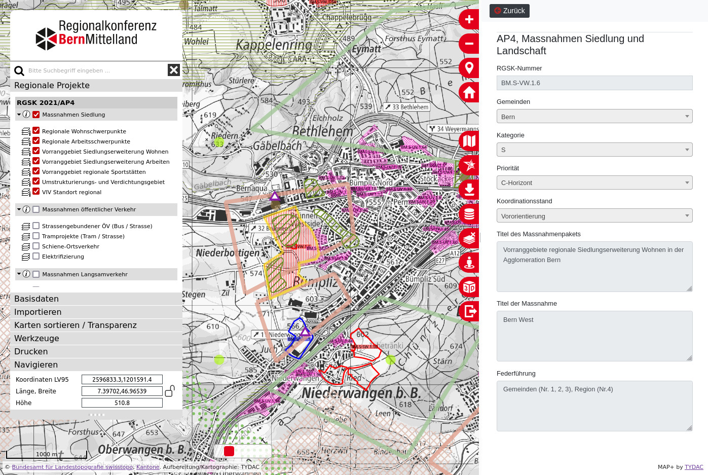
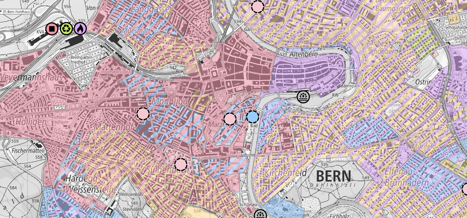
Regional Transport and Settlement Concept (RGSK) of the Bern-Mittelland Region (RKBM)
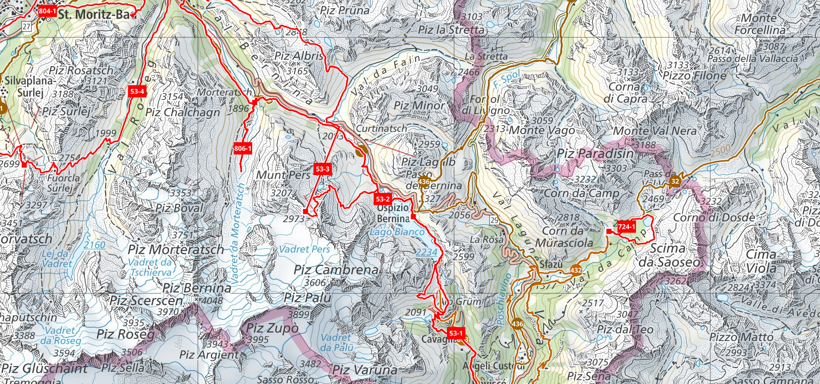
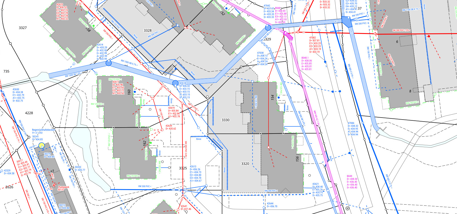
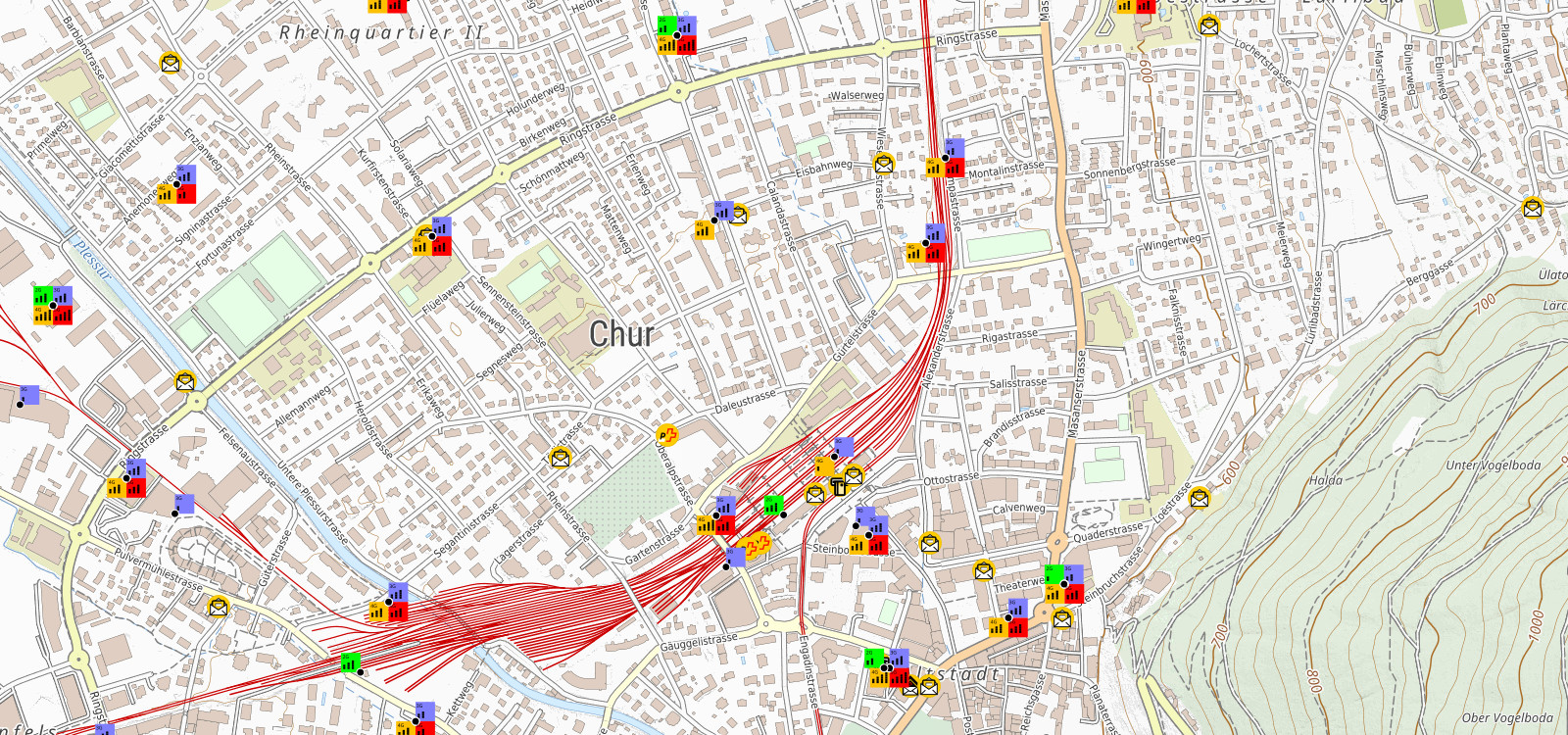
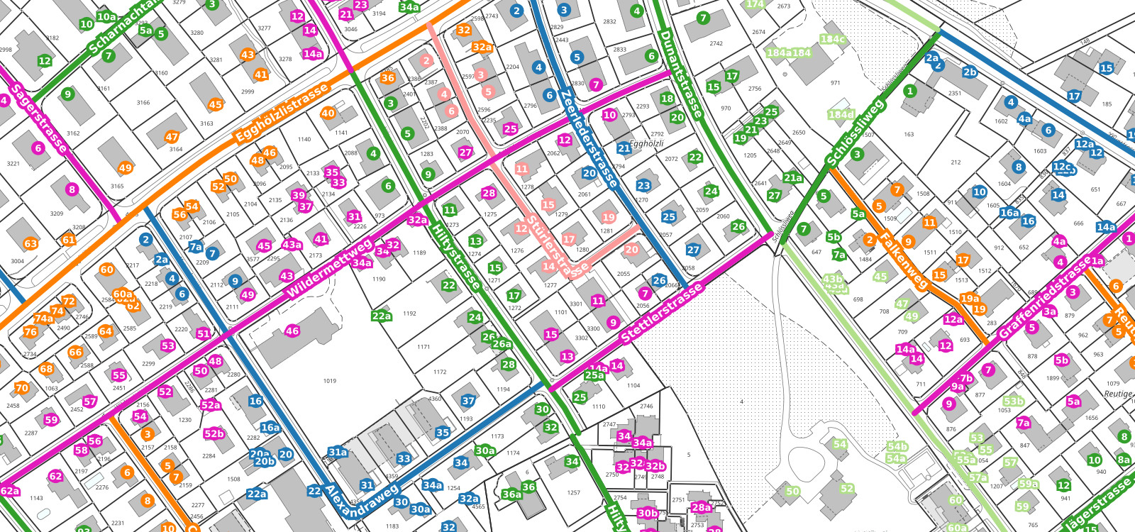
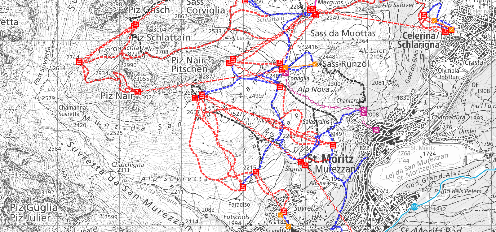
Web-based applications for the maintenance of roads, hiking trails, sewage systems, green areas, mountain railroads, trees, etc.
Menu or à la carte - Whatever you need ...

Our customer base reflects the wide range of applications realized with MAP+!
