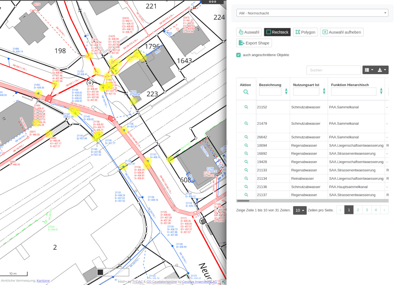
MAP+ goes far beyond what is expected under the term WebGIS. Conventional WebGIS allow to view and print geodata. MAP+ offers much more:
This allows database tables and joins to be published as lists. The functionality includes:
The configuration of the lists is done in Json files and is as easy as it can get ...
Example:

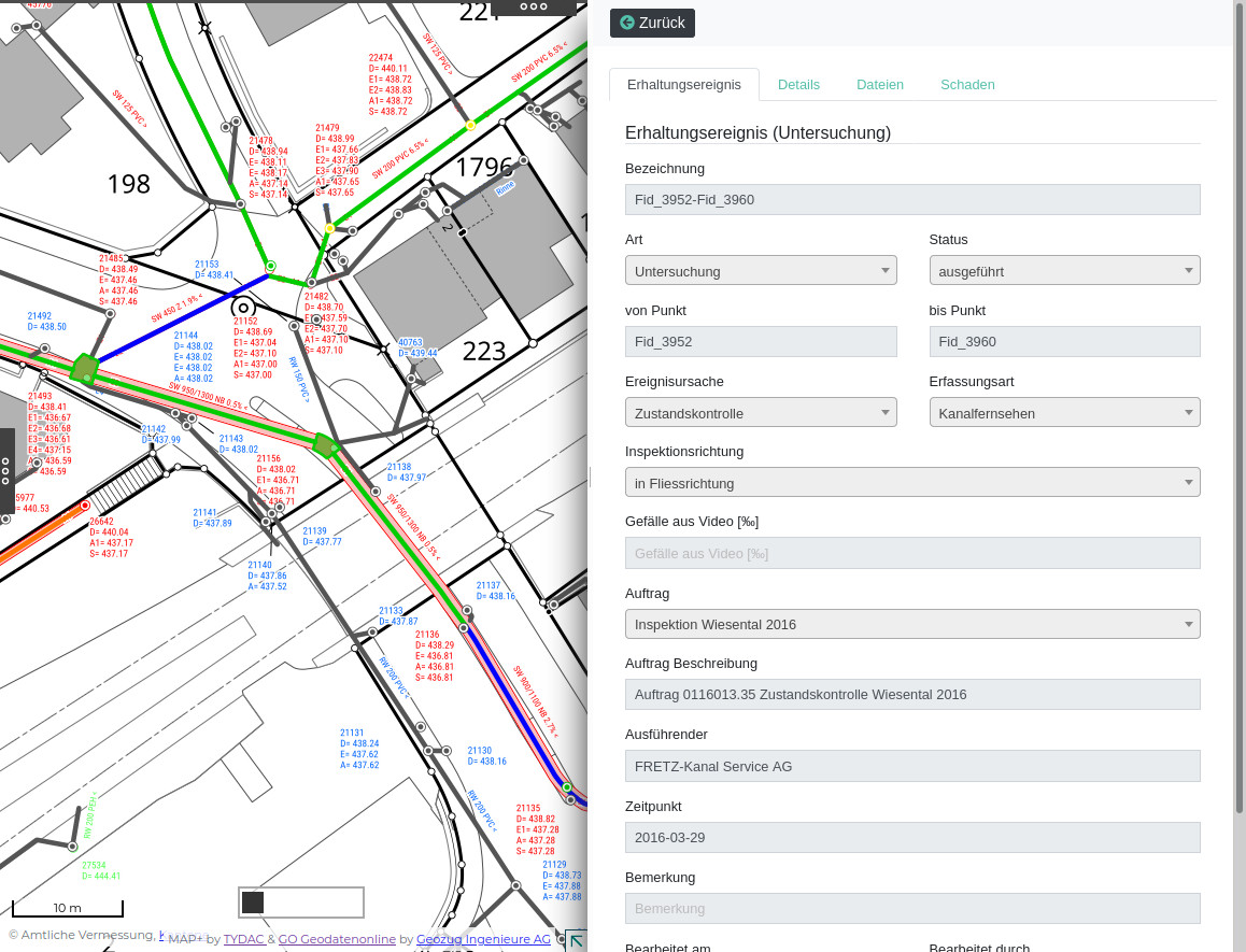
The sewer management system KMS of Geozug Geodatenonline consists of a larger number of complex, editable forms:
Part of the system is also a synchronization of the data edited in PostGIS with the main database on SQL Server.
Example measures:

Copyright @ TYDAC AG - Optingenstrasse 27 - CH-3013 Bern - +41 31 368 0180 - info@tydac.ch
Photos: Flavio Hendry - Privacy Policy
Powered by WordPress - Wallstreet Theme - Translation assistance by Weglot
Successfully complete registration
